The key points are temporarily unavailable. You can still read the full Story below.
Main Points
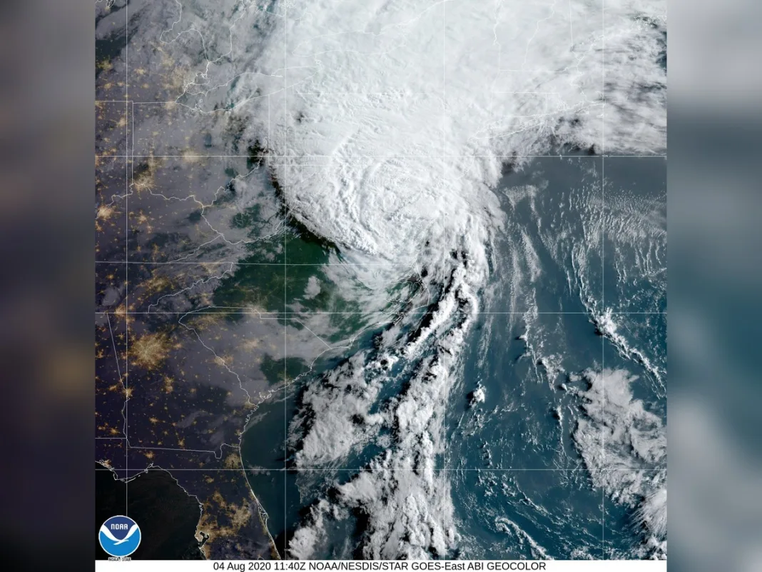
Iceland has been battered by an unusually intense extratropical cyclone, a powerful storm system that formed from the remnants of Hurricane Isaias after it made landfall in Florida as a Category 2 storm on October 9. The system transitioned into a deep low-pressure area as it tracked eastward over the North Atlantic, riding the jet stream toward Europe. The storm’s rapid intensification—known as bombogenesis—saw its air pressure plummet by over 50 hectopascals in just 24 hours, more than double the threshold for explosive cyclogenesis. Meteorologists suggest this may have set a new October record for the lowest barometric pressure in Iceland when adjusted for altitude, potentially surpassing a 63-year-old record dating back to 1963. On October 14, the cyclone lashed Iceland with destructive winds. Near Eyjafjallajökull volcano in the south, a gust of 205 kilometres per hour (128 mph) was recorded, while a small offshore island experienced sustained winds of 150 kilometres per hour (93 mph). The storm’s impact extended across the country, with northern regions facing sleet and snow. Even as far away as northwestern Scotland, gusts reached up to 90 kilometres per hour (55 mph), disrupting ferry services. The storm’s comma-shaped cloud pattern, typical of extratropical cyclones, was captured by the VIIRS instrument on the NOAA-21 satellite. These systems often combine hurricane-force winds with heavy rain and blizzard-like conditions, making them particularly hazardous. Iceland’s Meteorological Office had issued warnings ahead of the storm, advising residents to secure loose objects and avoid unnecessary travel. This event underscores the unpredictable nature of North Atlantic storms, which can rapidly intensify as they transition from tropical to extratropical systems. While Iceland is no stranger to severe weather, the scale of this cyclone—particularly its record-low pressure—highlights the growing challenges posed by extreme meteorological events in a changing climate.
Iceland has been battered by an unusually intense extratropical cyclone, a powerful storm system that formed from the remnants of Hurricane Isaias after it made landfall in Florida as a Category 2 storm on October 9. The system transitioned into a deep low-pressure area as it tracked eastward over the North Atlantic, riding the jet stream toward Europe.
The storm’s rapid intensification—known as bombogenesis—saw its air pressure plummet by over 50 hectopascals in just 24 hours, more than double the threshold for explosive cyclogenesis. Meteorologists suggest this may have set a new October record for the lowest barometric pressure in Iceland when adjusted for altitude, potentially surpassing a 63-year-old record dating back to 1963.
On October 14, the cyclone lashed Iceland with destructive winds. Near Eyjafjallajökull volcano in the south, a gust of 205 kilometres per hour (128 mph) was recorded, while a small offshore island experienced sustained winds of 150 kilometres per hour (93 mph). The storm’s impact extended across the country, with northern regions facing sleet and snow. Even as far away as northwestern Scotland, gusts reached up to 90 kilometres per hour (55 mph), disrupting ferry services.
The storm’s comma-shaped cloud pattern, typical of extratropical cyclones, was captured by the VIIRS instrument on the NOAA-21 satellite. These systems often combine hurricane-force winds with heavy rain and blizzard-like conditions, making them particularly hazardous. Iceland’s Meteorological Office had issued warnings ahead of the storm, advising residents to secure loose objects and avoid unnecessary travel.
This event underscores the unpredictable nature of North Atlantic storms, which can rapidly intensify as they transition from tropical to extratropical systems. While Iceland is no stranger to severe weather, the scale of this cyclone—particularly its record-low pressure—highlights the growing challenges posed by extreme meteorological events in a changing climate.
News Desk is the editorial publishing account for Tringlobe Media News, covering breaking news, public affairs, entertainment, community developments and regional stories across Trinidad and Tobago, the Caribbean and internationally.