The key points are temporarily unavailable. You can still read the full Story below.
Main Points
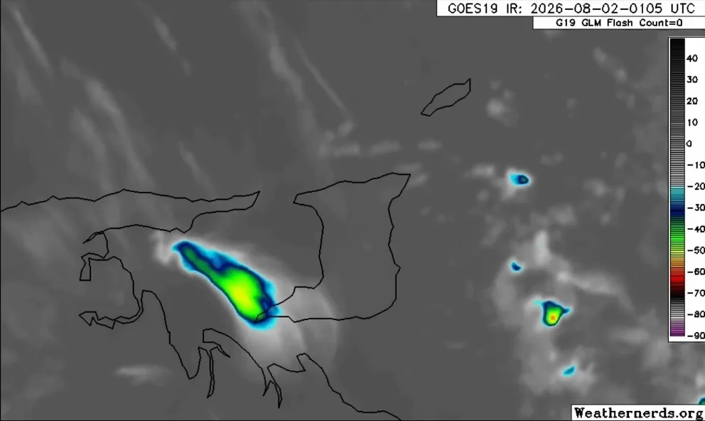
The country is currently experiencing the effects of Tropical Wave 32, which began manifesting at around 10:00 PM. This weather system is expected to bring unsettled conditions that could last into early Monday morning.
Meteorologists have reported scattered areas of mainly light to moderate rainfall across the region, with isolated pockets of heavier rainfall. The activity is largely moving westward, specifically across the eastern offshore waters, predominantly affecting Trinidad.
Residents are advised to prepare for a range of weather activities, including isolated to scattered showers and thunderstorms. The first significant period of rainfall is predicted to occur from early Sunday morning through the early afternoon, with a second peak anticipated early Monday morning.
As the tropical wave progresses, the public is urged to stay informed through official weather updates and to exercise caution, especially in areas prone to flooding or landslides. While the rainfall is expected to be mostly light to moderate, the isolated heavier pockets could lead to localized disruptions.
This wave is part of a broader pattern of tropical activity in the region, and similar weather conditions may persist in the coming weeks. Residents are encouraged to remain vigilant and take necessary precautions to ensure their safety and wellbeing during this period of increased weather activity.