The key points are temporarily unavailable. You can still read the full Story below.
Main Points
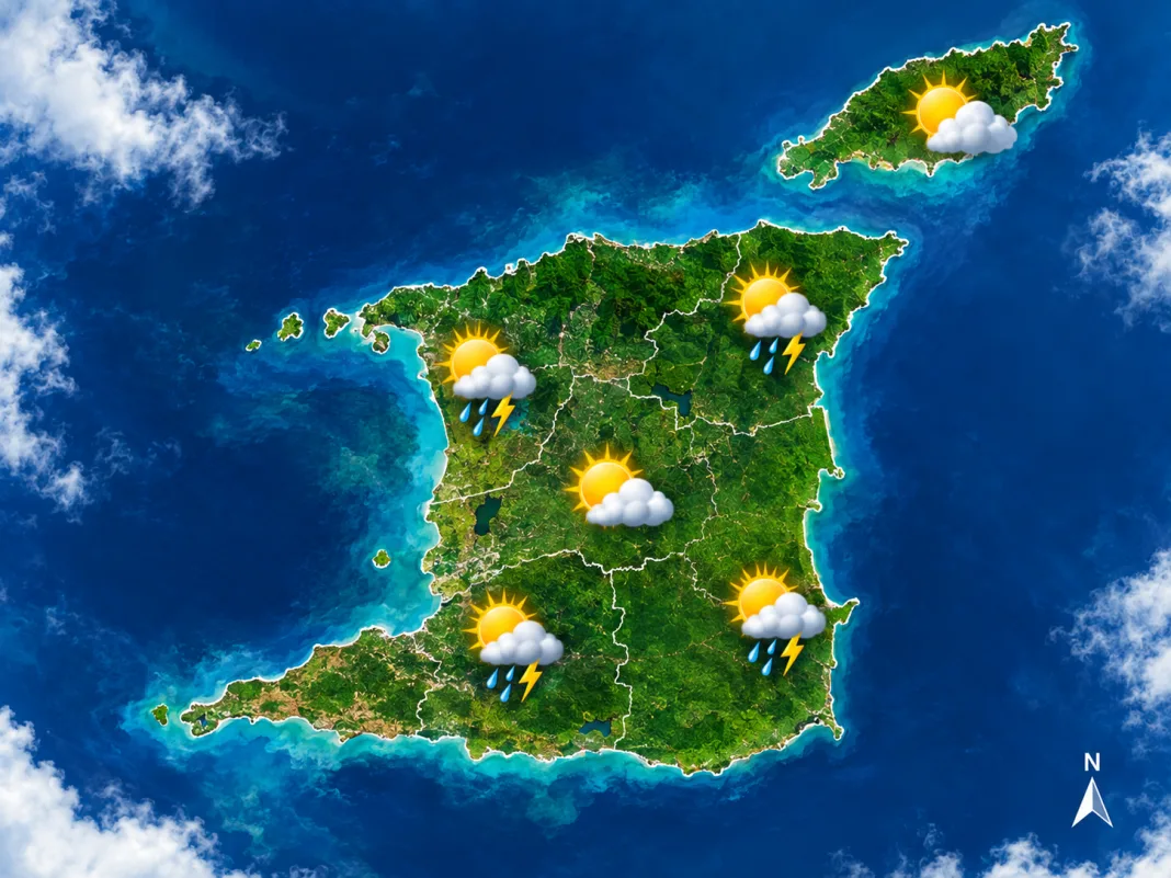
The MetOffice released the official public weather forecast for Trinidad, Tobago and the Windward Islands on Friday 25 September 2026 at 06:12 AM. The forecast covers the period until midnight.
Overall conditions are expected to be fair, punctuated by brief showers. The chance of a heavier shower or thunderstorm remains low to medium, and could bring gusty winds and street flooding.
A Yellow Level Hot Spell Alert is in effect for the day, warning of elevated temperatures. Residents should stay hydrated and avoid prolonged outdoor activity during peak heat.
Evening and overnight conditions will be predominantly sunny, with isolated showers. Piarco recorded a minimum of 25.6 °C last night, with a forecast maximum of 33 °C. Crown Point’s minimum was 26.5 °C, with a maximum of 32 °C.
Sea conditions will be moderate, with waves near 1.5 m in open waters and below 1.0 m in sheltered areas. These conditions are suitable for most water activities, though caution is advised during high winds.
For a detailed breakdown, including wind speeds and precipitation probabilities, visit the MetOffice website. Stay safe and plan your day accordingly.