The key points are temporarily unavailable. You can still read the full Story below.
Main Points
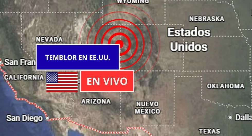
The United States is continuously monitored for seismic activity because it sits on a complex network of tectonic plates. According to the United States Geological Survey (USGS), the states with the highest frequency of earthquakes are California, Alaska, Hawaii, Nevada, Texas, New York, New Jersey, and the Washington, D.C. area. The USGS provides real‑time updates that include the exact time, magnitude, depth, and epicenter location of each event, information that is used by scientists, emergency officials, and the public to track seismic activity and prepare for potential hazards. On Saturday, November 7 2026, the USGS recorded several earthquakes across the country. The most recent events were: | Date & Time (UTC‑5) | Magnitude | Epicenter | Depth (km) | Location | |———————|———–|———–|————|———-| | 2026‑11‑07 13:10:56 | 3.1 | 13 km northeast of Milford, Utah | 3.5 | 38.478° N, 112.895° W | | 2026‑11‑07 11:29:24 | 2.5 | 38 km northwest of Beluga, Alaska | 81.6 | 61.338° N, 151.682° W | | 2026‑11‑07 07:35:09 | 2.7 | 13 km northeast of Milford, Utah | 1.3 | 38.476° N, 112.887° W | | 2026‑11‑07 06:53:43 | 3.5 | 7 km east‑northeast of Calumet, Oklahoma | 1.9 | 35.620° N, 98.041° W | These events were all below magnitude 4.0, and none were reported to have caused damage. The USGS website (earthquake.usgs.gov) provides detailed, up‑to‑date information on each event, including waveform data and maps. The USGS also operates ShakeAlert, a real‑time early‑warning system that detects the first seismic waves and sends alerts to mobile phones and emergency systems seconds before stronger shaking arrives. ShakeAlert has been credited with giving residents in high‑risk areas critical time to take cover. Because earthquakes occur daily in the United States—most are minor and not felt—public education on preparedness is a priority. The USGS recommends the following basic measures: Before an earthquake – Create a family emergency plan, conduct drills, secure heavy furniture, and keep an emergency kit with water, food, a flashlight, batteries, a first‑aid kit, and important documents. During an earthquake – Drop, cover, and hold on. Stay indoors away from windows and heavy objects; if outside, move to open space away from buildings, trees, and power lines. After an earthquake – Check for injuries, inspect for gas leaks or structural damage, listen to official updates, and report hazards to local authorities. The USGS notes that earthquakes with magnitudes above 5.0 can cause moderate damage, while those above 6.0 pose a high risk, especially in urban areas or where older buildings are present. The depth of an earthquake also influences its surface intensity; deeper events tend to be felt less strongly than shallow ones. For the public, the USGS encourages downloading official alert apps and staying informed through its website and local emergency services. While earthquakes cannot be predicted with certainty, continuous monitoring and risk modeling help identify zones of higher probability, allowing communities to prepare and respond more effectively. Article source: El Comercio | Image credit: El Comercio
The United States is continuously monitored for seismic activity because it sits on a complex network of tectonic plates. According to the United States Geological Survey (USGS), the states with the highest frequency of earthquakes are California, Alaska, Hawaii, Nevada, Texas, New York, New Jersey, and the Washington, D.C. area. The USGS provides real‑time updates that include the exact time, magnitude, depth, and epicenter location of each event, information that is used by scientists, emergency officials, and the public to track seismic activity and prepare for potential hazards. On Saturday, November 7 2026, the USGS recorded several earthquakes across the country. The most recent events were: | Date & Time (UTC‑5) | Magnitude | Epicenter | Depth (km) | Location | |———————|———–|———–|————|———-| | 2026‑11‑07 13:10:56 | 3.1 | 13 km northeast of Milford, Utah | 3.5 | 38.478° N, 112.895° W | | 2026‑11‑07 11:29:24 | 2.5 | 38 km northwest of Beluga, Alaska | 81.6 | 61.338° N, 151.682° W | | 2026‑11‑07 07:35:09 | 2.7 | 13 km northeast of Milford, Utah | 1.3 | 38.476° N, 112.887° W | | 2026‑11‑07 06:53:43 | 3.5 | 7 km east‑northeast of Calumet, Oklahoma | 1.9 | 35.620° N, 98.041° W | These events were all below magnitude 4.0, and none were reported to have caused damage. The USGS website (earthquake.usgs.gov) provides detailed, up‑to‑date information on each event, including waveform data and maps. The USGS also operates ShakeAlert, a real‑time early‑warning system that detects the first seismic waves and sends alerts to mobile phones and emergency systems seconds before stronger shaking arrives. ShakeAlert has been credited with giving residents in high‑risk areas critical time to take cover. Because earthquakes occur daily in the United States—most are minor and not felt—public education on preparedness is a priority. The USGS recommends the following basic measures: Before an earthquake – Create a family emergency plan, conduct drills, secure heavy furniture, and keep an emergency kit with water, food, a flashlight, batteries, a first‑aid kit, and important documents. During an earthquake – Drop, cover, and hold on. Stay indoors away from windows and heavy objects; if outside, move to open space away from buildings, trees, and power lines. After an earthquake – Check for injuries, inspect for gas leaks or structural damage, listen to official updates, and report hazards to local authorities. The USGS notes that earthquakes with magnitudes above 5.0 can cause moderate damage, while those above 6.0 pose a high risk, especially in urban areas or where older buildings are present. The depth of an earthquake also influences its surface intensity; deeper events tend to be felt less strongly than shallow ones. For the public, the USGS encourages downloading official alert apps and staying informed through its website and local emergency services. While earthquakes cannot be predicted with certainty, continuous monitoring and risk modeling help identify zones of higher probability, allowing communities to prepare and respond more effectively.
News Desk is the editorial publishing account for Tringlobe Media News, covering breaking news, public affairs, entertainment, community developments and regional stories across Trinidad and Tobago, the Caribbean and internationally.