The key points are temporarily unavailable. You can still read the full Story below.
Main Points
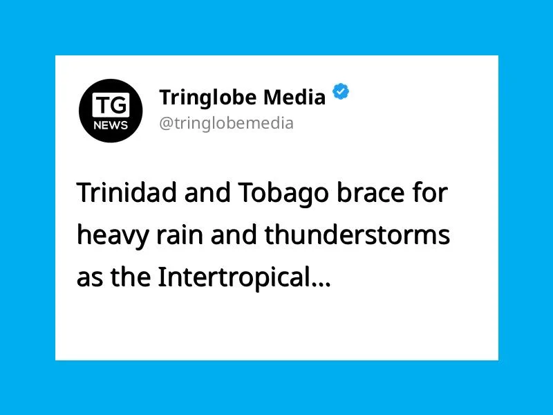
Early morning satellite imagery revealed a swath of active showers and thunderstorms sweeping across Trinidad and Tobago, a phenomenon tied to the Intertropical Convergence Zone. Meteorologists project that the storm activity will persist throughout the day, with the eastern and southern parts of Trinidad poised to receive the heaviest rainfall.
While most regions can expect brief periods of rain, there is a possibility of one or two thunderstorms rolling in. The combination of heavy rain and strong winds raises the risk of street flooding, particularly in low‑lying neighborhoods, and could trigger flash floods in areas with saturated soil or poor drainage.
Wind gusts during the storm surge may reach hazardous levels, prompting authorities to advise residents to secure loose items and stay away from flood‑prone zones. Public infrastructure, including roads and bridges, may experience water‑related disruptions, and emergency services remain on standby to address any weather‑related incidents.
Local news outlets will continue to provide real‑time updates, urging citizens to monitor weather alerts and follow safety guidelines issued by the national meteorological agency.